Tides Today & Tomorrow in Cape Charles Harbor, VA
Printing our tide charts?
Help us keep our doors open and lights on by registering as a member of US Harbors.
It's simple and free!
Cape Charles Harbor, VA Tides - Jun 2024
| Date | High Tide | Low Tide | Sun | Moon | ||||||||
|---|---|---|---|---|---|---|---|---|---|---|---|---|
| AM | ft | PM | ft | AM | ft | PM | ft | Rise | Set | |||
| 23 | Sun | 10:44 | 2.1 | 11:06 | 2.8 | 4:58 | 0.0 | 4:52 | 0.0 | 5:44 | 8:29 |  |
| 24 | Mon | 11:32 | 2.2 | 11:55 | 2.7 | 5:43 | 0.0 | 5:41 | 0.0 | 5:44 | 8:29 | |
| 25 | Tue | 12:22 | 2.3 | 6:30 | 0.0 | 6:36 | 0.1 | 5:45 | 8:29 |  | ||
| 26 | Wed | 12:45 | 2.7 | 1:15 | 2.3 | 7:21 | 0.0 | 7:37 | 0.1 | 5:45 | 8:29 | |
| 27 | Thu | 1:36 | 2.6 | 2:08 | 2.4 | 8:12 | 0.0 | 8:40 | 0.2 | 5:45 | 8:29 | |
| 28 | Fri | 2:28 | 2.4 | 3:03 | 2.5 | 9:04 | 0.0 | 9:46 | 0.2 | 5:46 | 8:29 |  |
| 29 | Sat | 3:23 | 2.3 | 4:04 | 2.6 | 9:57 | 0.0 | 10:53 | 0.2 | 5:46 | 8:29 | |
| 30 | Sun | 4:25 | 2.1 | 5:09 | 2.7 | 10:52 | 0.0 | 11:59 | 0.2 | 5:47 | 8:29 | |
| Date | High Tide | Low Tide | Sun | Moon | ||||||||
| AM | ft | PM | ft | AM | ft | PM | ft | Rise | Set | |||


www.USHarbors.com
SPONSORED CONTENT
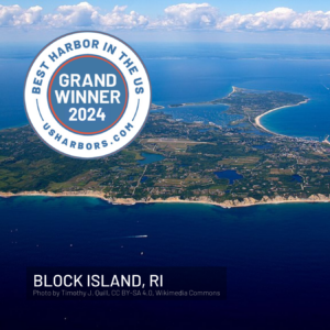
2024's "Best Harbor" Contest Winners Announced
You Voted, and We Have a Clear Winner! Grand Winner, Best Harbor in the U.S. for 2024: Block Island, RI Top 10 Results: Block Island, RI (also 2024’s Northeast regional winner; first time on winners list) Destin, FL (also 2024’s Gulf Coast regional winner; first time on winners list) Padanaram,… Learn More
Coastal News Updates See All

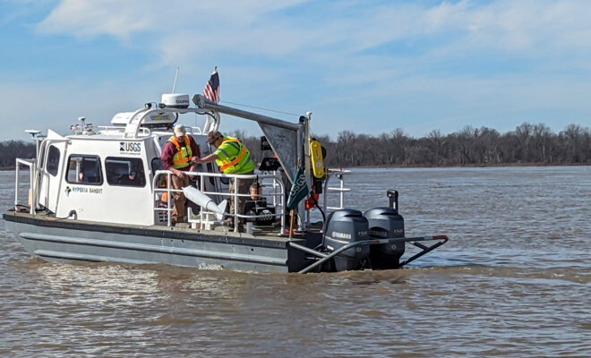
NOAA Study Validates Sea Level Data for Future Flood Risk Outlooks
By ecomagazine.com. A team of NOAA and university sea level rise experts completed a study… More
May 2024 was Earth’s Warmest May on Record
By noaa.gov. The globe saw its 12th-consecutive month of record warmth. Last month marked a… More
South Carolina: Mount Pleasant Invests in Shrimp Industry Future
By Carli Stewart. town in South Carolina is working to keep the local shrimp fishery… More
U.S. Marine Economy Continues Upward Trend
By noaa.gov. $476 billion contribution helps build a ‘greater, more Climate-Ready Nation’ The American marine… More
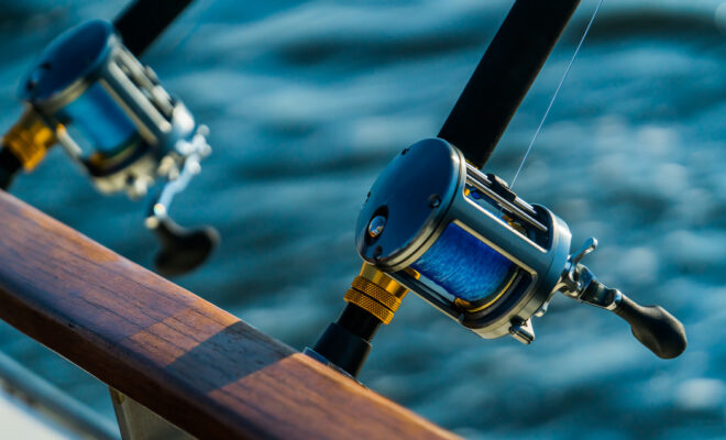
Whether It’s Law Or Not, You Need A Fish Descending Device
By Tanner Deas. When fishing offshore have you ever experienced fish floating on the surface… More
Geoscientists Found the Most Dangerous Part of a Famous West Coast Fault
By Nikk Ogasa. The most destructive Cascadian earthquakes are likely to slam offshore of Washington… More

Heat Exhaustion or Heat Stroke? Know the Signs of Heat Illness
By noaa.gov. If you are spending any time outside this summer, chances are you’ll be… More
ClimateCoastal NewsEnvironmentExtreme WeatherHealth & Safety
NOAA forecasts above-average summer 'dead zone' in Gulf of Mexico
By noaa.gov. Low oxygen conditions expected to impact 5,827 square-mile area. NOAA is forecasting an… More
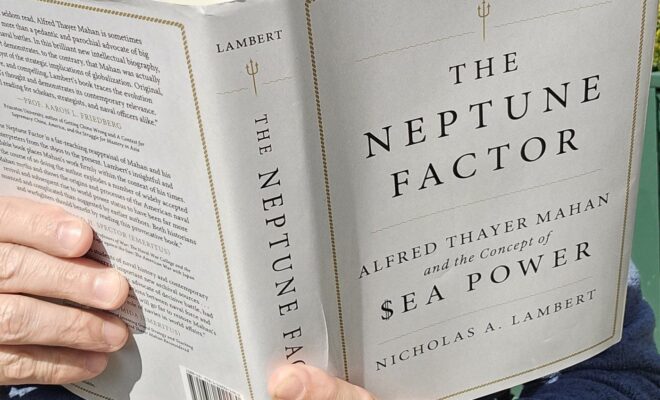
Book Review – The Neptune Factor, Mahan and the Concept of $ea Power
By John Konrad. Alfred Thayer Mahan’s importance and strength lie in his groundbreaking ideas on… More