Skip to content
- Popponesset, MA
- Osterville, MA
- Hyannis Harbor, MA
- Falmouth Harbor, MA
- Barnstable Harbor, MA
- Red Brook, MA
- Megansett Harbor, North Falmouth, MA
- West Falmouth, MA
- Cape Cod Canal, East (Sandwich), MA
- Oak Bluffs, Martha’s Vineyard, MA
41.6083’ N, 70.4367’ W
46°
H 52°
L 44°
ENE
8mph
High tide
10:27 am
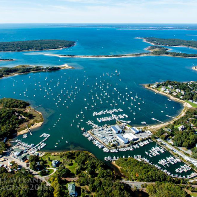
Exploring Maps and Charts of Cotuit, MA